
Our state-of-the-art inertial navigation, sensor fusion, and physics-informed AI algorithms deliver robust A-PNT (Assured Positioning, Navigation, and Timing) for pedestrian applications — from hiking to dismounted warfighter positioning across diverse terrains and environments.
By fusing data from inertial sensors (gyroscopes and accelerometers), magnetometers, and barometric pressure sensors, our system maintains accurate positioning even in GPS-denied conditions.
Designed to be hardware-agnostic, Rahbar integrates seamlessly with low-cost MEMS sensors commonly available in smartphones and wearable devices, enabling scalable and cost-effective deployment.
Designed to operate reliably across diverse poses and usage contexts, including chest-mounted, waist-mounted, handheld, and hand-swing scenarios.




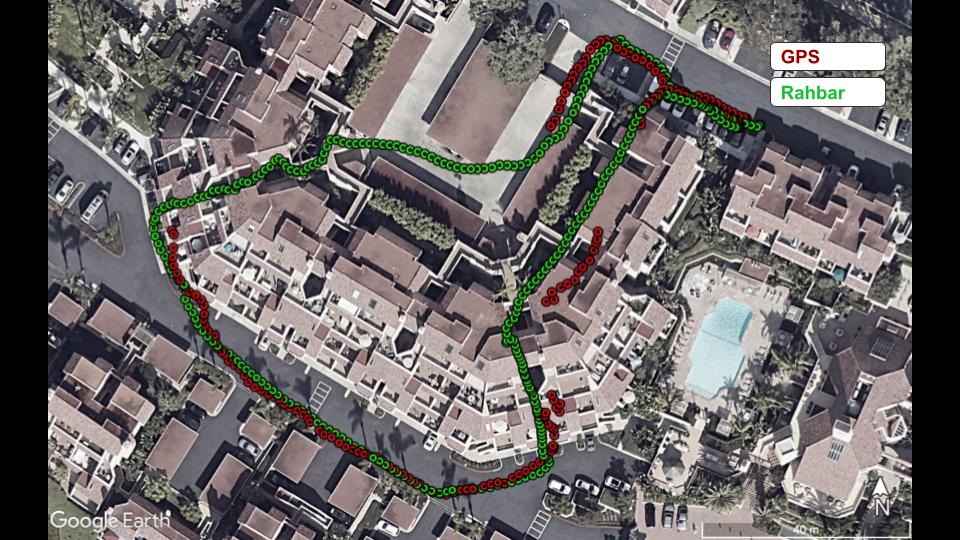
Built for real-world conditions, Rahbar delivers reliable performance in heavy foliage and maintains accuracy in urban canyons where conventional positioning systems often struggle. It supports diverse user poses and carry modes, including handheld use, hand-swing motion, chest-mounted devices, and waist-worn devices, ensuring robust operation across a wide range of environments and applications.
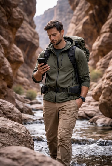
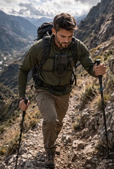
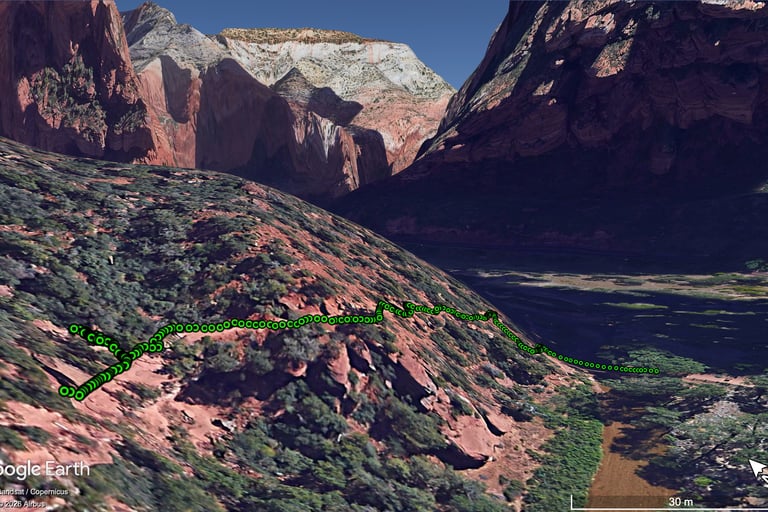
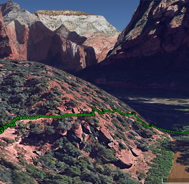
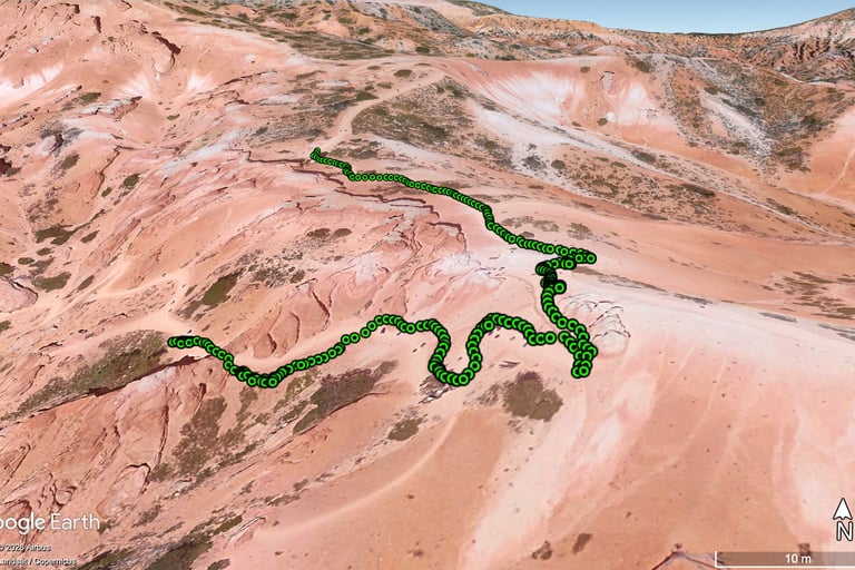
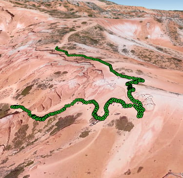
GPS free positioning in Zion national park
GPS free positioning in Bryce canyon
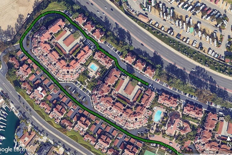
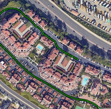
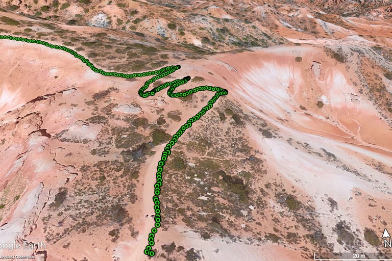
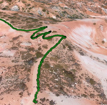
GPS free positioning in Bryce canyon
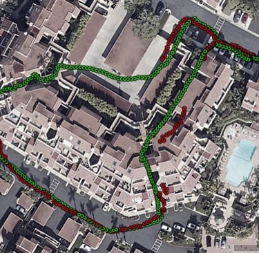
GPS free positioning in urban environment
Rahbar iOS App
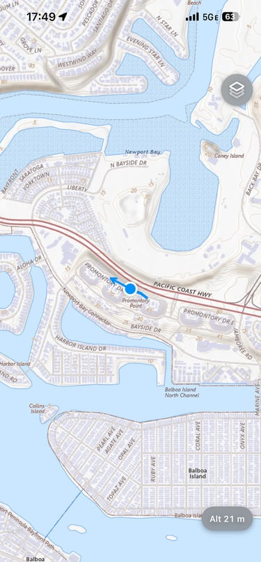
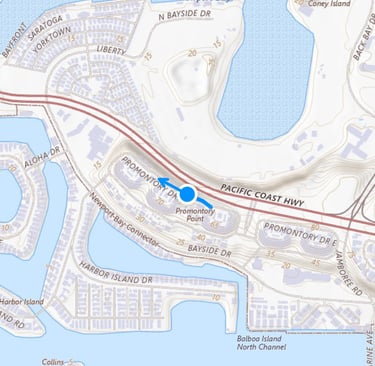
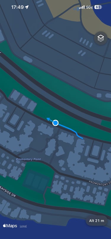
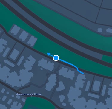
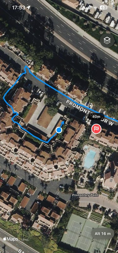
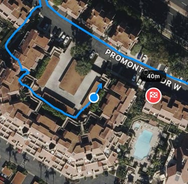
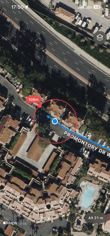
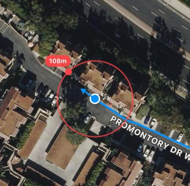
Rahbar iOS app lets users seamlessly switch between USGS Topo, Apple, and Apple Hybrid maps while supporting downloadable USGS Topo maps for offline use. It provides real-time position tracking and visualizes seamless tracks across both indoor and outdoor environments. Users can add waypoints and receive real-time navigation cues for distance and direction, while the system remains robust across multiple carrying modes, including handheld, hand-swing, chest-mounted, and waist-mounted configurations.
Rahbar iOS app is a comprehensive tool for evaluating positioning accuracy and operational usefulness across a wide range of environments.