Rahbar iOS app coming soon

Uqaab عقاب

A Low SWaP-C positioning system for autonomous drone operations in GNSS degraded and denied environments.

("Falcon")

Uqaab uses sensor fusion algorithms to combine inertial sensors, pressure sensors, magnetic field sensors, laser range finder and nadir view camera to provide continuous Position, Velocity and Attitude (PVA) solution for autonomous navigation of drones in GNSS denied environments.

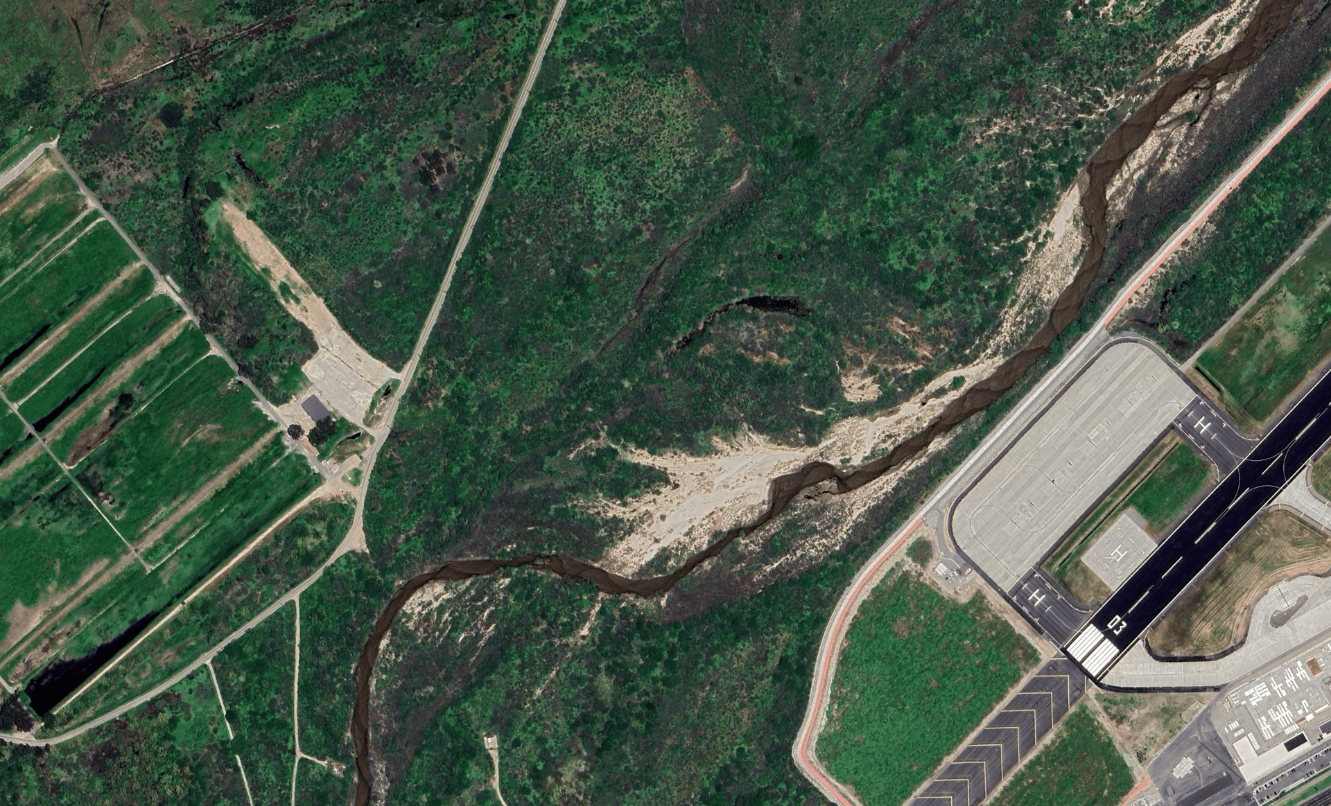
Rectified aerial imagery

This demonstration shows a GNSS-denied flight over a tactical airfield, with the drone operating at approximately 100 meters above ground level. Although the aerial imagery varied in the density of trackable features across the scene, the system still achieved successful position estimation throughout the airfield. Using this navigation capability, the drone autonomously followed its waypoints, successfully closed the loop, and returned to its starting location.

Interested in Uqaab